GeoDev Blog
December 09, 2016
Command Line Cartography
by Mike Bostock
This three-part tutorial will teach you to make a thematic map from the command line. Super Cool.
Read More
December 09, 2016
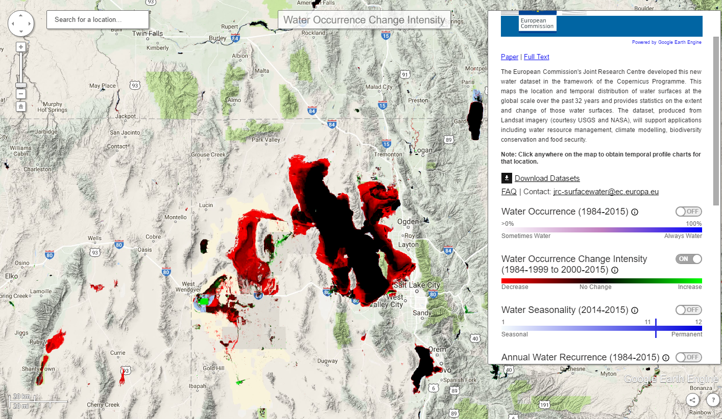
Global Surface Water Explorer
Scientists with the European Commission’s Joint Research Center in Ispra, Italy, working with Google engineers, have used millions of satellite images to illustrate how rivers, lakes and other bodies of water have changed over three decades.
Read More